
The single nave church with the lateral chapel of St. Anthony. Behind the altar there are choir stalls and a wooden stand for the pulpit from the 18th century from where monks prayed their daily breviary.

At the beginning of the Middle Ages the new settlement of Scrissa or Bag developed next to the sea, in the Fortica area. Remains of a small four-corner fortress from the 13th or 14th cent ...

In the time preceding the water system network, the only source of drink- ing water were the šterne. They also represented the key to unity; the wheel would often entangle, new love stories and friendships would arise...

A church from 1710, built on the foundations of the church of St. John (1615). It was badly damaged during the bombings in 1943. The remains were removed 1958 except for the preserved tower, one part of the wall and the entire bell fry.

A chapel dedicated to the Blessed Virgin Mary of the Seven Sorrows was built in 1727 on higher ground above the town, on Calvary...

The stone building was built in 1875 through the efforts of Baron Mollinary, and it was the most grandiose building of the time in Karlobag.

Baške Oštarije lie on the Velebit, at 924 n N/V in the western part of Lika, in the micro-region of the Lika basin of moun- tainous Croatia, at 18 km from Karlobag. The locality bore the name Oštarije until 1900 when it was changed into Baške Oštarije.

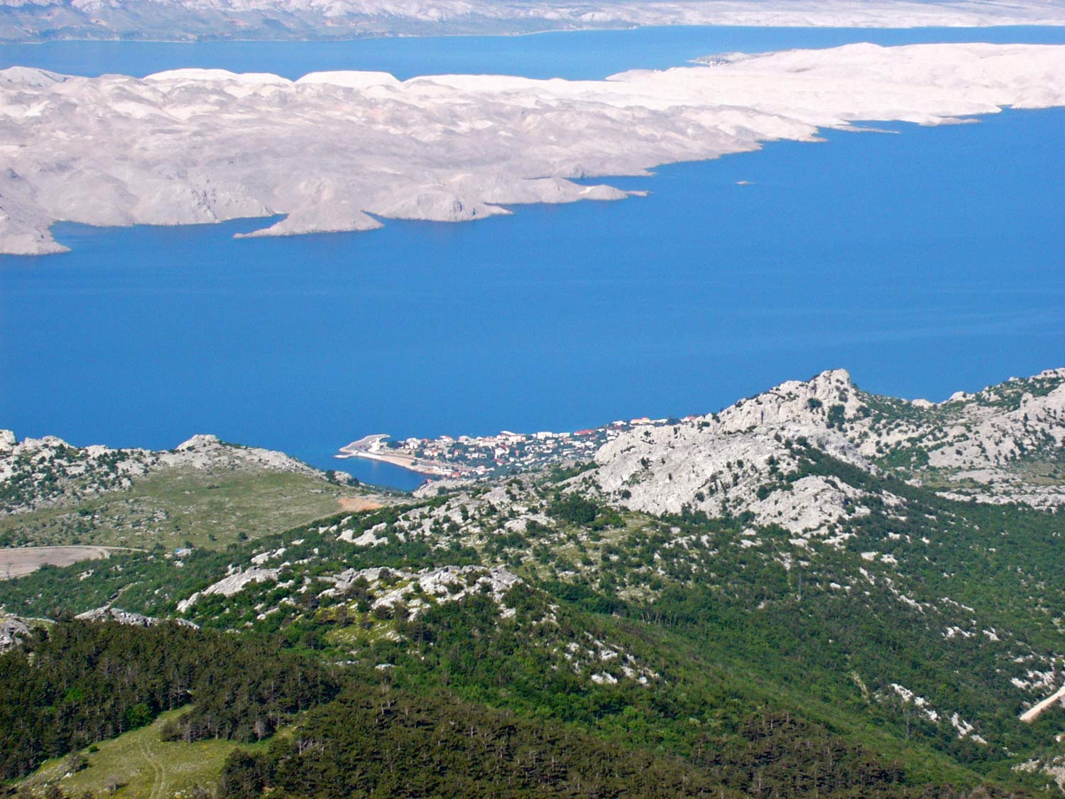
The monument dedicated to the building of the Karlobag– Gospić Road across the Velebit, the Cube (Kubus, Ura) on four spheres is situated on the Oštarije Saddle or Stara vrata, at 927 m above sea level from where the view extends over Karlobag...

I
 n memory of the building of the Knežić– Kekićeve road built from 1844 to 1851. An interesting fact to mention is that people called this source the source of fertility.
 The Theresiana was built in 1786 as a better connection between Gospić, the Regiment Headquarters of the time, and the free port of Karlobag. The order to build a new, modern road was given by Emperor Joseph II. The road was named after his mother Mary Theresa.
The Premužić Trail was named after the construction engineer Ante Premužić who designed it in 1930, while the construction it self was finished in 1933. The trail crosses the most beautiful and most interesting parts of the North Velebit.

People call Dabar the karst basin shaped valleys. The Dabar and Dabar Cliffs region extends along the central part of the mountain massif, from Bačić-kuk opposite Budak mountain to the northwest...

Cesarica is situated in a lovely cove at the foot of the Velebit in a channel bearing the same name, 7 km northwest of Karlobag and 55 km southeast of Senj, next to the Adriatic Highway.

If you are planning an outing from which you expect to discover new and interesting destinations you must visit Zavratnica - „a significant landscape “ and one of the most beautiful coves on the Croatian coast.

Lukovo Šugarje-initially a local development center, south of Karlobag and situated in the cove bearing the same name and a short strait connects it with the open sea.
